Land Surveying Services
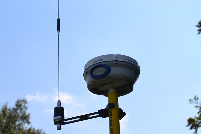
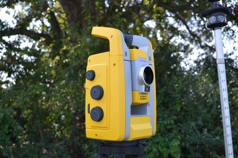
Using advanced GPS technology, aerial drone data collection, and hydrographic equipment, we provide:
- Boundary and topographic surveys
- Subdivision plats
- Flood plain certificates
- Construction staking
- Hydrographic Surveys
- Drone Surveys